 |
Hempstead |
|
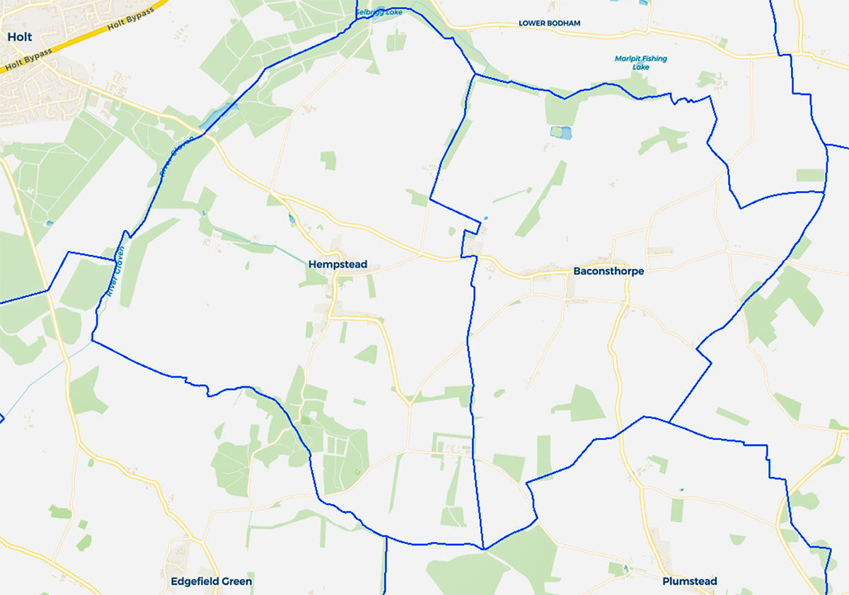 |
Parish boundary map |
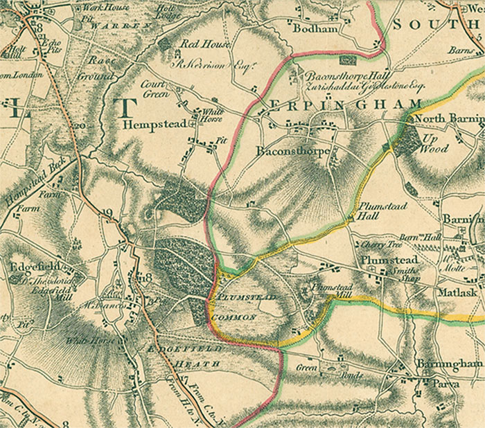 |
Faden's map 1797 |
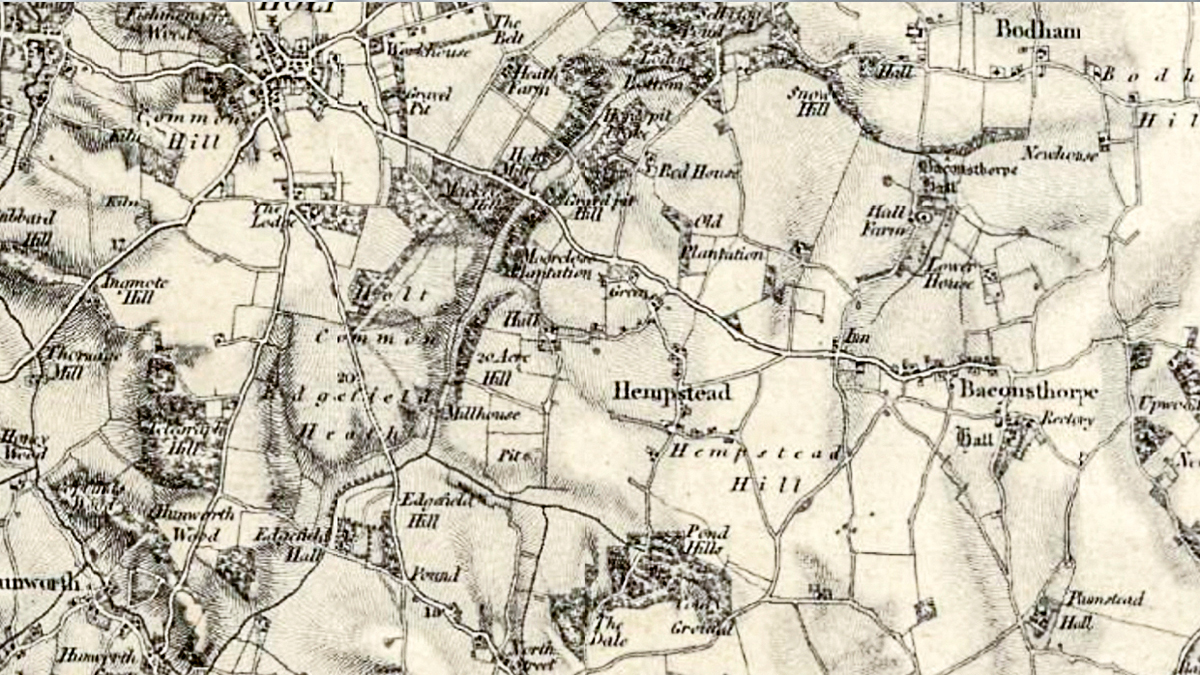 |
O. S. Map 1831 Hempstead postmill is shown on Court Green, Hempstead Hall Wade Millhouse is shown at Smokers Hole, Selbrigg Pond is also marked |
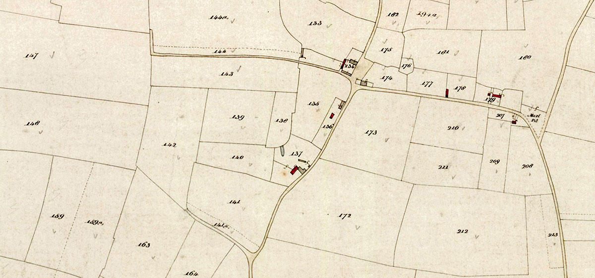 |
Tithe Map 1841 Church Farm crossroads top centre right Dwelling houses shown in red Tinker's Cottage is shown on Marlpit Road but Marlpits has yet to be built |
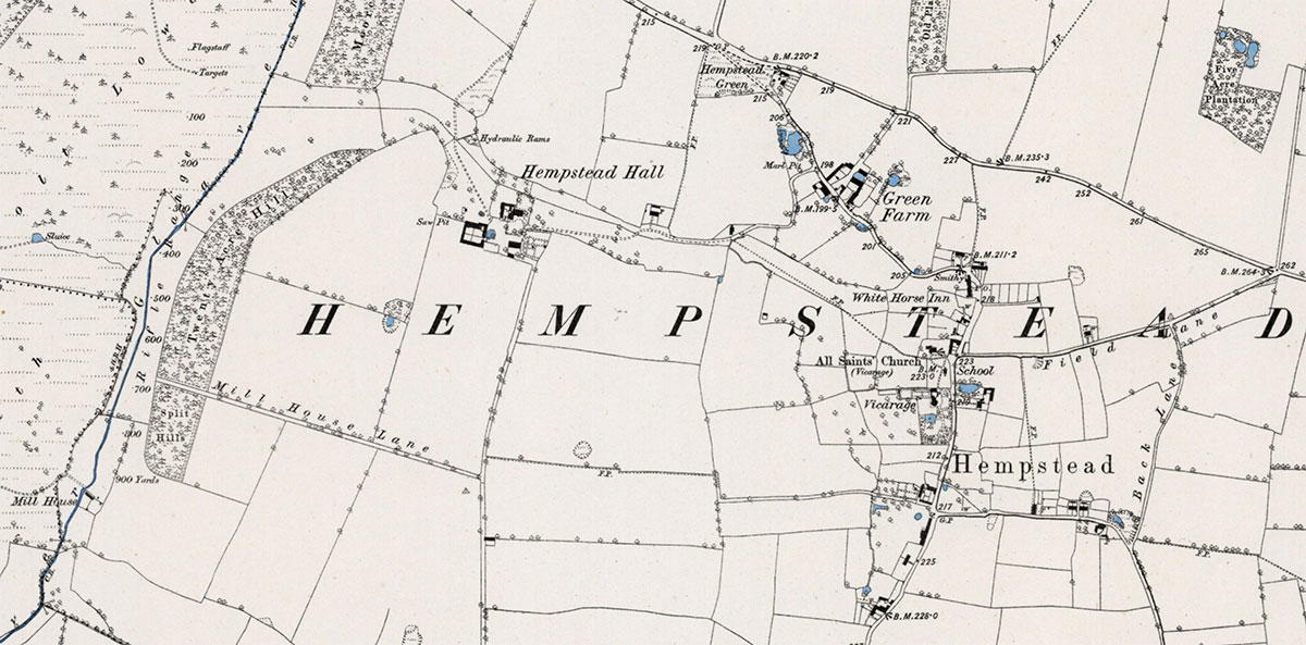 |
O. S. Map 1885 Courtesy of NLS map images |
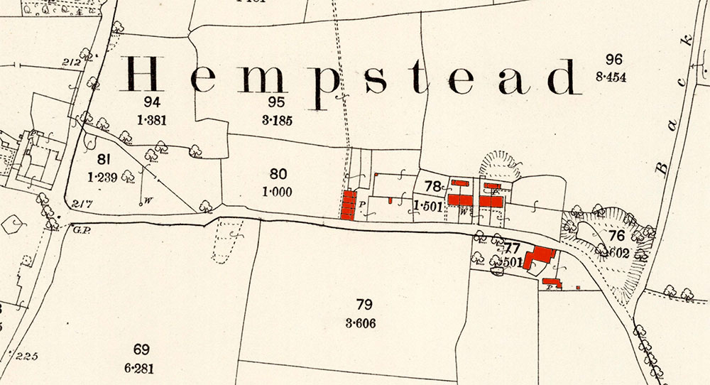 |
O. S. Map 1885 Church Farm (uncoloured) is opposite the western end of Marlpit Lane as it runs eastwards. The first buildings are the block of five Marlpit Cottages on the northern side and to the east of them the two blocks of two single storey cottages, now converted into two separate houses - Marlpits and Tinker's Cottage. Pine Farm is on the south side, almost opposite the large marl pit within the Y of the junction with Back Lane, with a smaller pit just to its northwest behind what is now Tinkers Cottage. Courtesy of NLS map images |
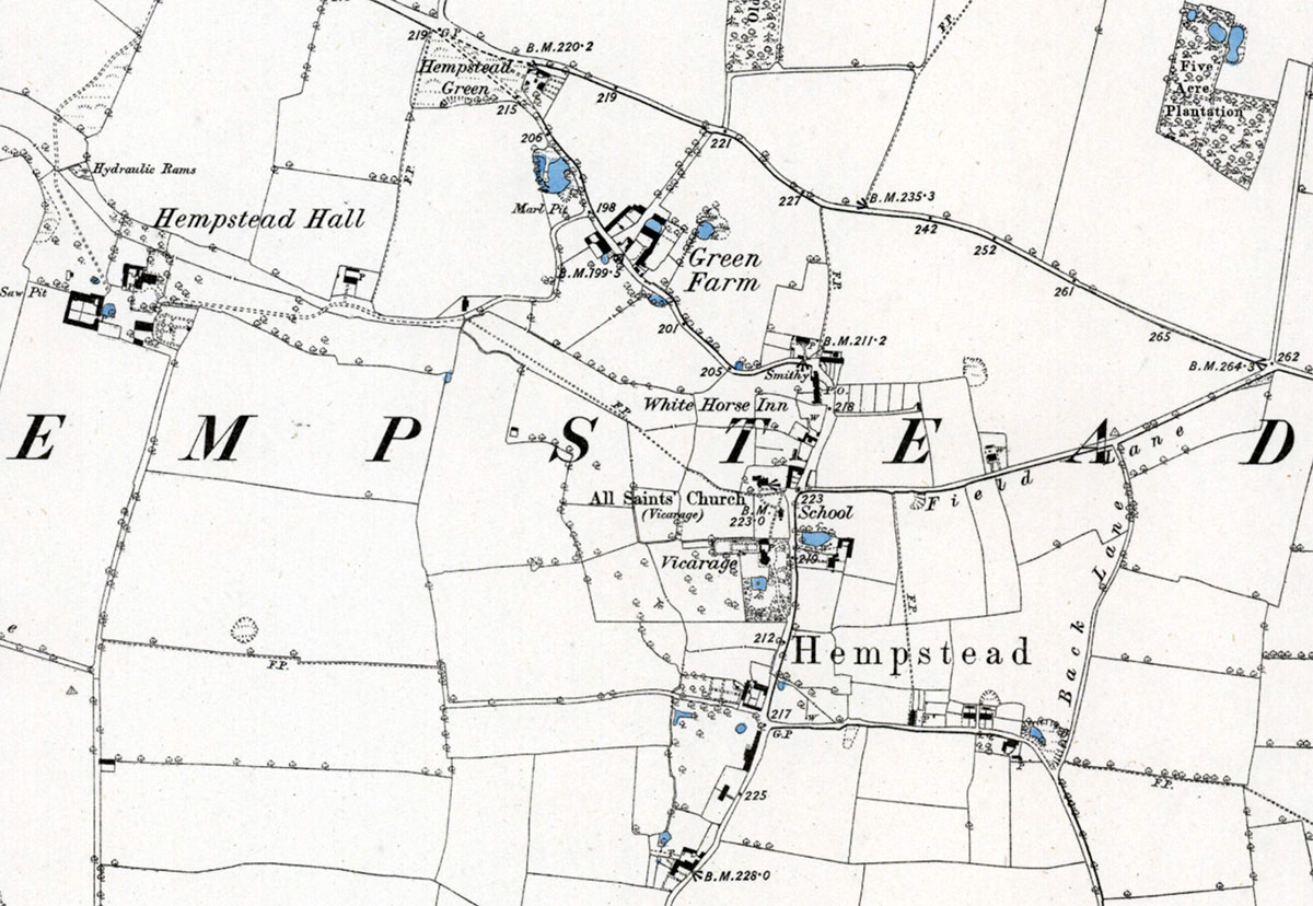 |
O. S. Map 1885 (enlarged image of top map) Courtesy of NLS map images |
 |
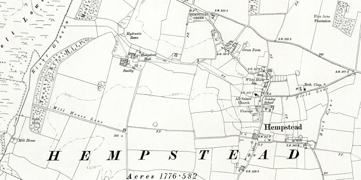
O. S. Map 1886 Courtesy of NLS map images |
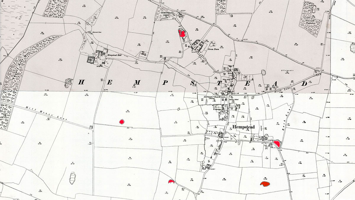 |
O. S. Map 1905 Marl Pits marked in red Courtesy of NLS map images |
 |
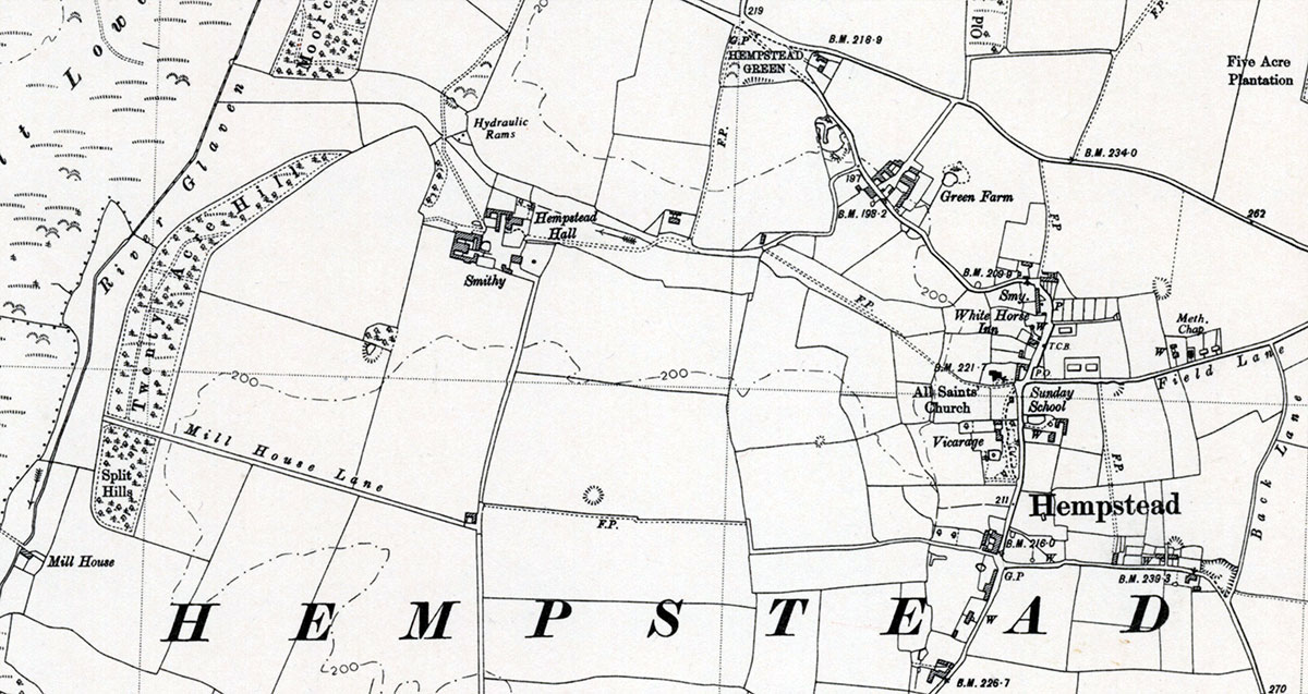
O. S. Map 1905 Courtesy of NLS map images |
 |
O. S. Map 1905 Courtesy of NLS map images |
 |
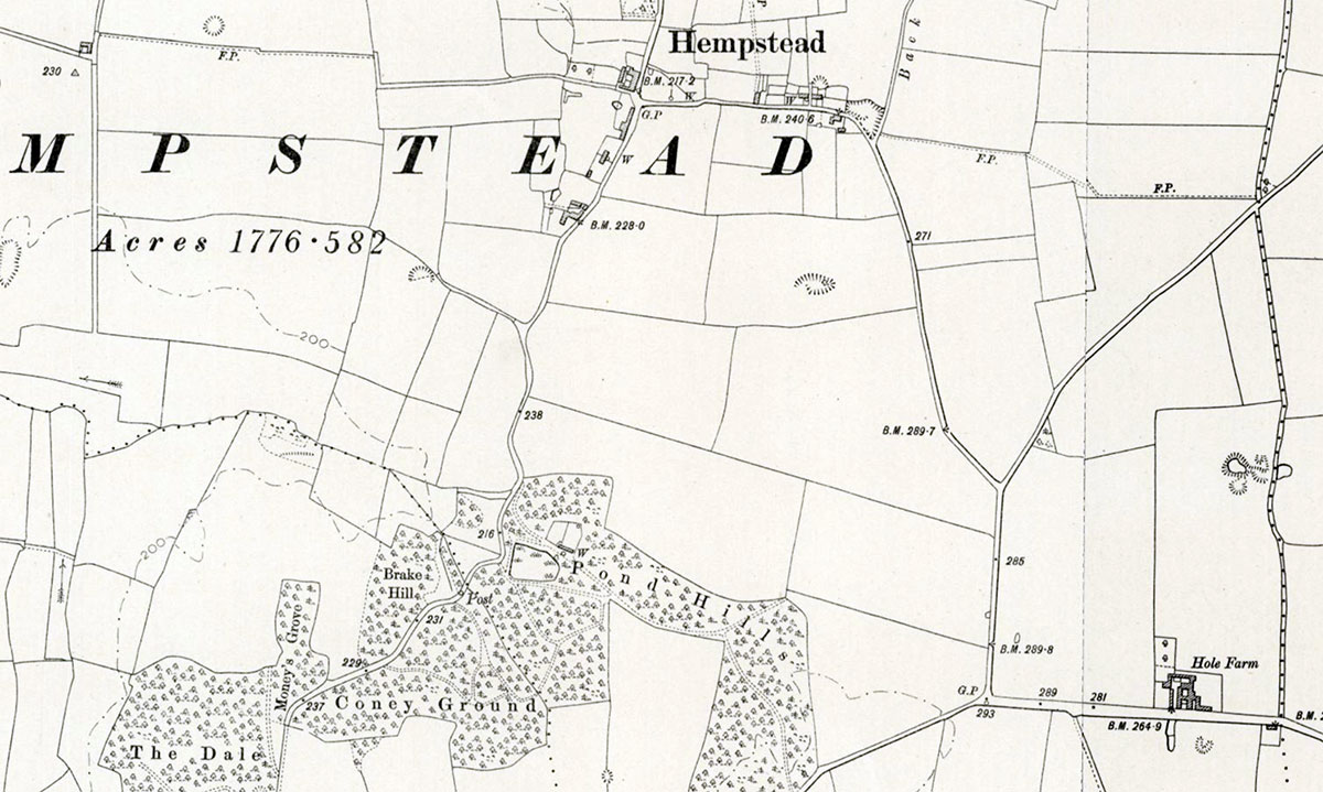
O. S. Map 1950 Courtesy of NLS map images |
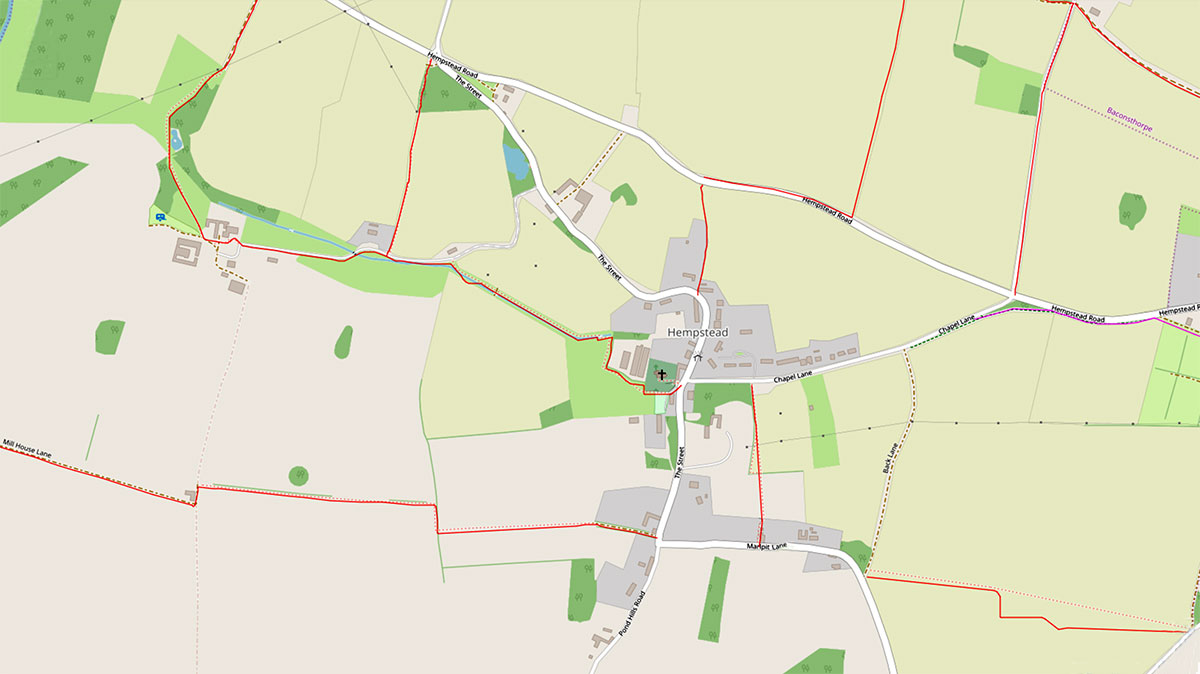 |
Modern map - red lines represent footpaths |
If you have any memories, anecdotes or photos please let us know and we may be able to use them to update the site. By all means telephone 07836 675369 or
|
Website copyright © Jonathan Neville 2023 |