 |
Hempstead |
|
Village History |
||||||||||||
|
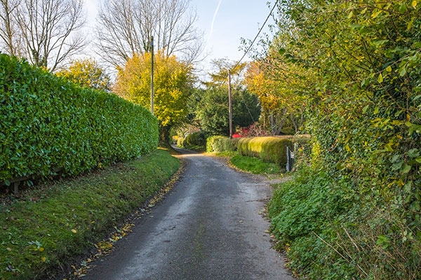 |
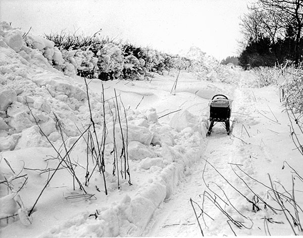
Marlpit Lane - 7th November 2021 |
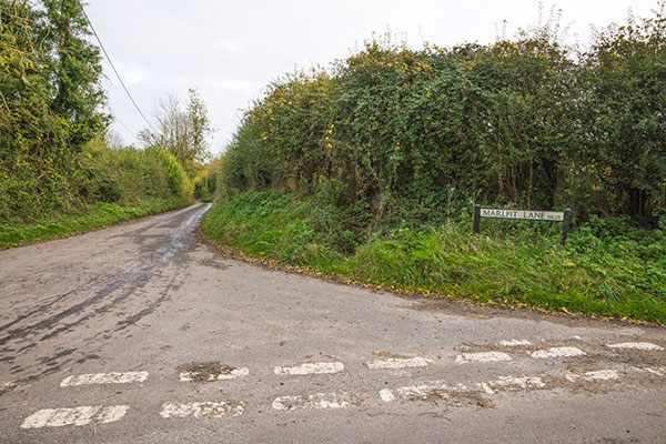
Marlpit Lane runs northwest from School Lane that leads to Baconsthorpe, before turning further west to join Pond Hills Road at the crossroads with The Street and Clamp Lane at the southern end of the village. |
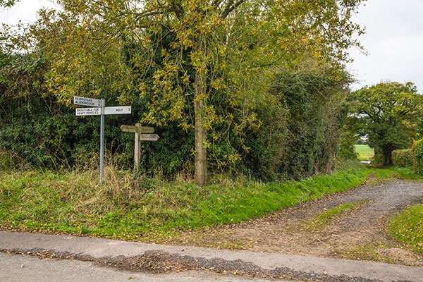
| Back Lane, which is now no more than a farm track, runs north to connect Marlpit Lane with Chapel Lane. |
 |
 |
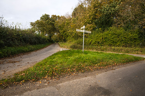
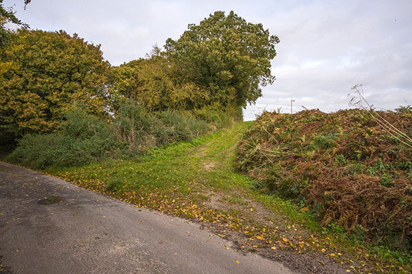
Marlpit Lane's eastern junction with School Lane - 6th November 2021 |
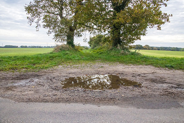
Marlpit Lane at its western junction with Pond Hills Road - 6th November 2021 |
 |
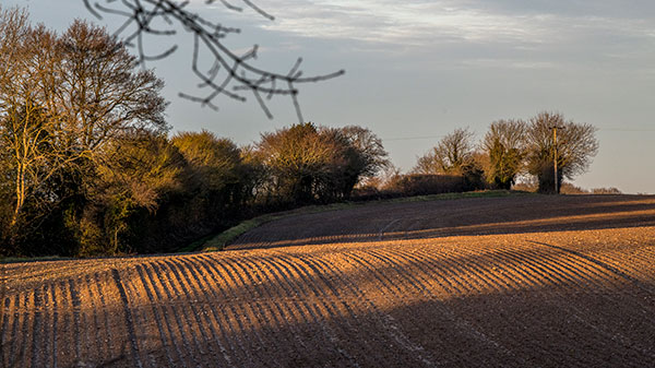
Clamp Lane was a continuation of Marlpit Lane until it was destroyed when its hedges crossing the field visible in the distance were removed by David Johnson in the 1960s - 6th November 2021 |
It seems likely that the three Church Farm cottages each then occupied by two families are the same three double cottages of which two passed to the Youngs family with Pit Farm in 1936 to be sold off with the farm in 1970 (that is “Marlpits'' and “Tinkers Cottage”) and one (“Pond Hills Cottages”) which remained with Church_Farm which was sold in the eighties by the Carvers. Alternatively they may have been the predecessors of the three surviving “pairs'' (now each one house), with Lady Suffield rebuilding on the same sites over a period of time. This theory is borne out by the 1841 Tithe Map which shows Lady Suffield as owner and the (now) two pairs in Marlpit Lane occupied by William Allen and others. On the map only one half of Marlpit Cottage later owned by Mr & Mrs Durst is shown as then existing, possibly indicating that the rebuilding process was still incomplete. |
 |
 |
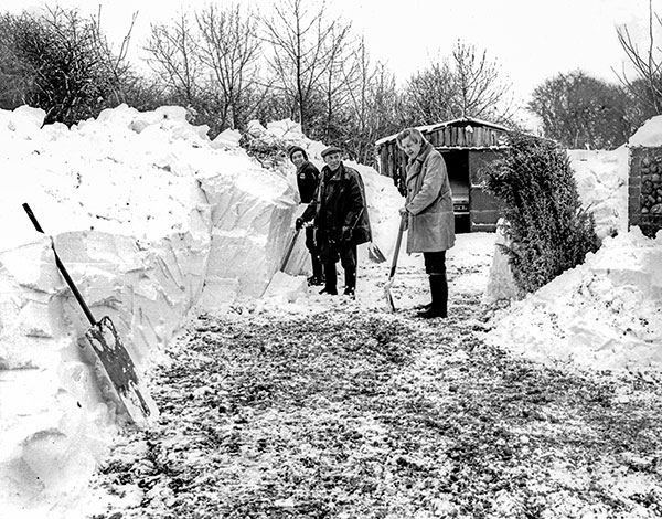
left to right - Adrian Sewell and his father from Tinker's Cottage and David Durst from Marlpits cottage - 1979 |
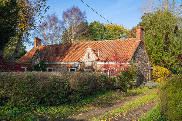
Marlpits - 6th November 2021 |
HISTORY OF MARLPITS (No 43 and No 44 Marlpit Lane) |
 |
 |
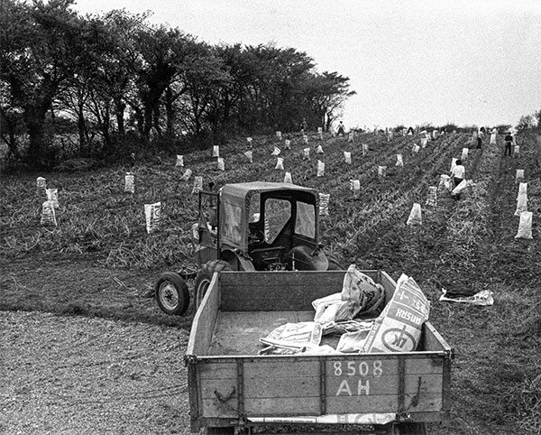
Potato Harvest on the field behind Marlpits - c.1972 The Ford 3000 tractor was owned by A.V. Youngs Farms Ltd of Baconsthorpe and the pickers were almost certainly The Grand Gang from Edgefield |
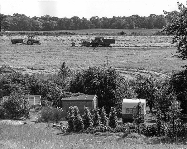
Barley harvest on the field behind Pine Farm - c.1975 Ford 3000 tractor, Richard Youngs standing, Ransomes combine |
 |
 |
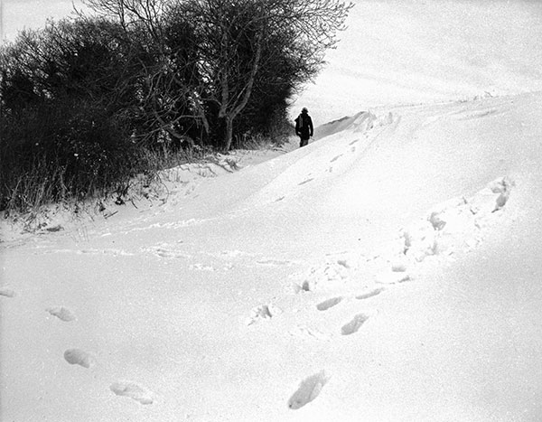
Back Lane north junction looking south towards Marlpit Lane - 8th November 2021 |
Back Lane south junction looking north towards Chapel Lane - 6th November 2021 |
 |
 |
Back Lane - 25th December 2020 |
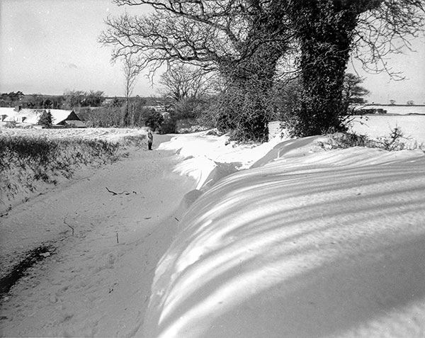
Back Lane - 9th November 2021 |
 |
 |
Back Lane looking south towards Marlpit Lane - 1979 |
Back Lane south junction looking north towards Chapel Lane - 1979 |
 |
 |
Marlpit Lane looking west with Pine Farm down to the left - 1979 |
Marlpit Lane looking east with the New Bullock Barn in the distance - 1979 |
The New Bullock Barn was built in the 1930s but was falling into disrepair by 1979 and after the Carver family took over Hole Farm in 1982, the barn was dismantled to prevent further theft of roof tiles and bricks etc. |
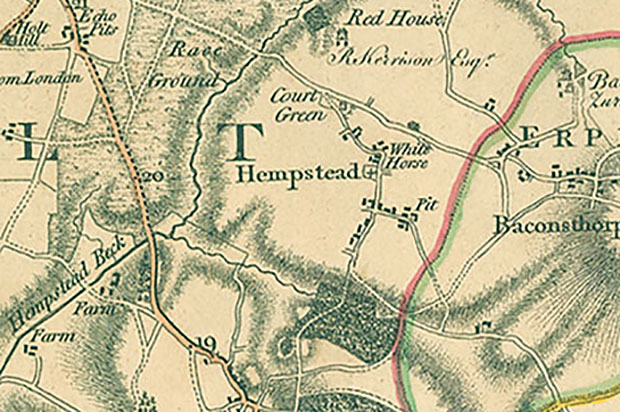 |
Faden's map 1797 More properties are shown at the western end of Marlpit Lane than are shown on the 1885, 1950 and present day maps |
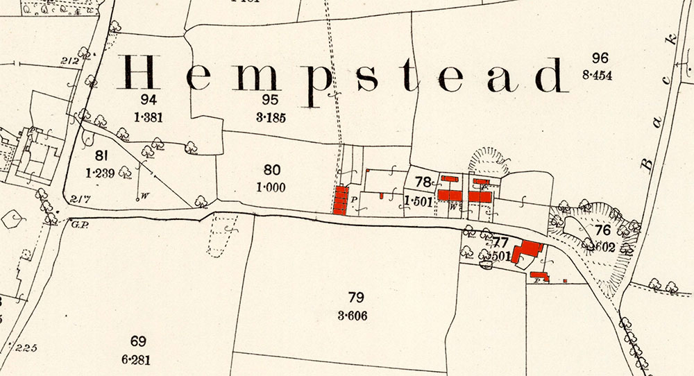 |
O. S. Map 1885 Church Farm (uncoloured) is opposite the western end of Marlpit Lane as it runs eastwards. The first buildings are the block of five Marlpit Cottages on the northern side and to the east of them the two blocks of two single storey cottages, now converted into two separate houses - Marlpits and Tinker's Cottage. Pine Farm is on the south side, almost opposite the large marl pit within the Y of the junction with Back Lane, with a smaller pit just to its northwest behind what is now Tinkers Cottage. Courtesy of NLS map images |
 |
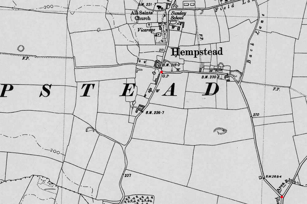
O. S. Map 1950 A bullock barn once stood just to the northwest of the junction between Marlpit Lane and School Lane The barn was built in the 1930s and dismantled in 1982 The area is still known as The Old Barn Courtesy of NLS map images |
 |
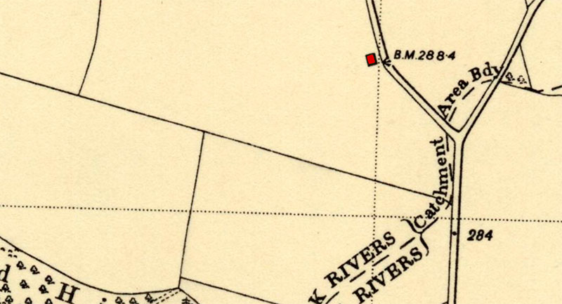
O. S. Map 1950 Marlpit Lane runs between the two red dots - a large marl pit can be seen in the Y of the junction with Back Lane, with a smaller pit just to its northwest behind what is now Tinkers Cottage, a third pit to the west of Marlpit Lane in the field and a big fourth pit down the track from Pond Hills Road to the west Courtesy of NLS map images |
If you have any memories, anecdotes or photos please let us know and we may be able to use them to update the site. Please
or telephone 07836 675369 |
Website copyright © Jonathan Neville 2023 |